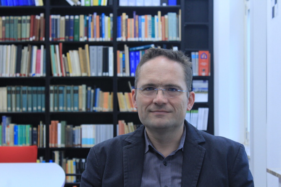
With a little distance, we often overlook the big picture. In the same way, remote sensing helps us to have a view of the city and the country, to look into their past and present, or to plan the future. As a geodesist, I am interested – among other things – in mapping our environment and thereby generating scientific and societal value in cooperation with colleagues from many disciplines.
Work experience
- 1/2001 – 4/2007: Research Associate at the Institute of Photogrammetry and Geo Information (IPI), LUH(www.ipi.uni-hannover.de).
- 5/2007 – 12/2016: Assistant Professor of Image Sequence Analysis at ITC, University of Twente (NL) ( https://www.itc.nl/).
- seit 1/2017: Professor at the Institute of Geodesy and Photogrammetry, TU Braunschweig (www.tu-braunschweig.de/igp).
Essays, Lectures and Publications
Recent publications can be found on the IGP homepage (Link) and in my ResearchGate profile (https://www.researchgate.net/profile/Markus-Gerke).

Contact details
Prof. Dr.-Eng. Markus Gerke
E-Mail: m.gerke@tu-braunschweig.de
Web: www.tu-braunschweig.de/igp
Tel: +40 (0)531 391 94570
Institut für Geodäsie und Photogrammetrie
Bienroder Weg 81
38106 Braunschweig
Deutschland


